Couldn't load pickup availability
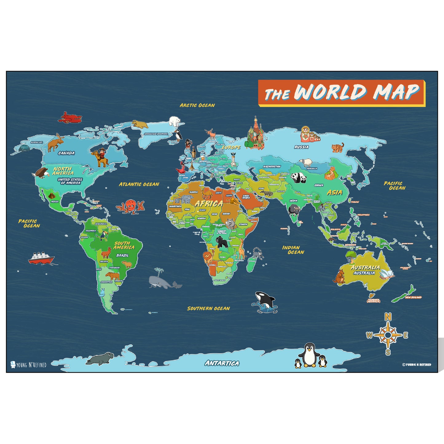
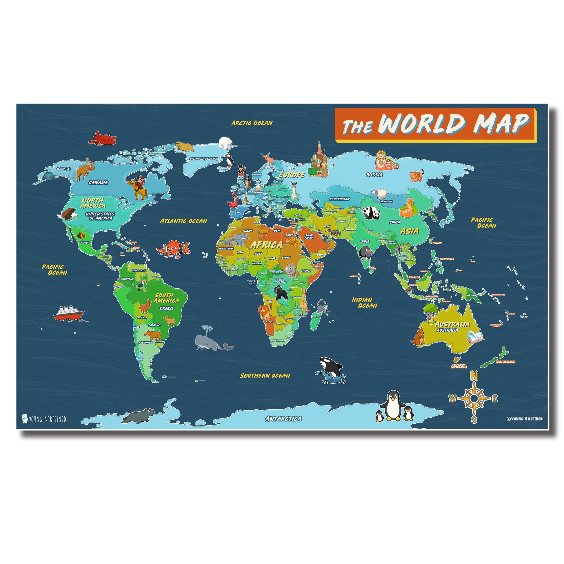
Illustrated World map poster for kids Laminated
Illustrated World map poster for kids Laminated
Share
Young N Refined
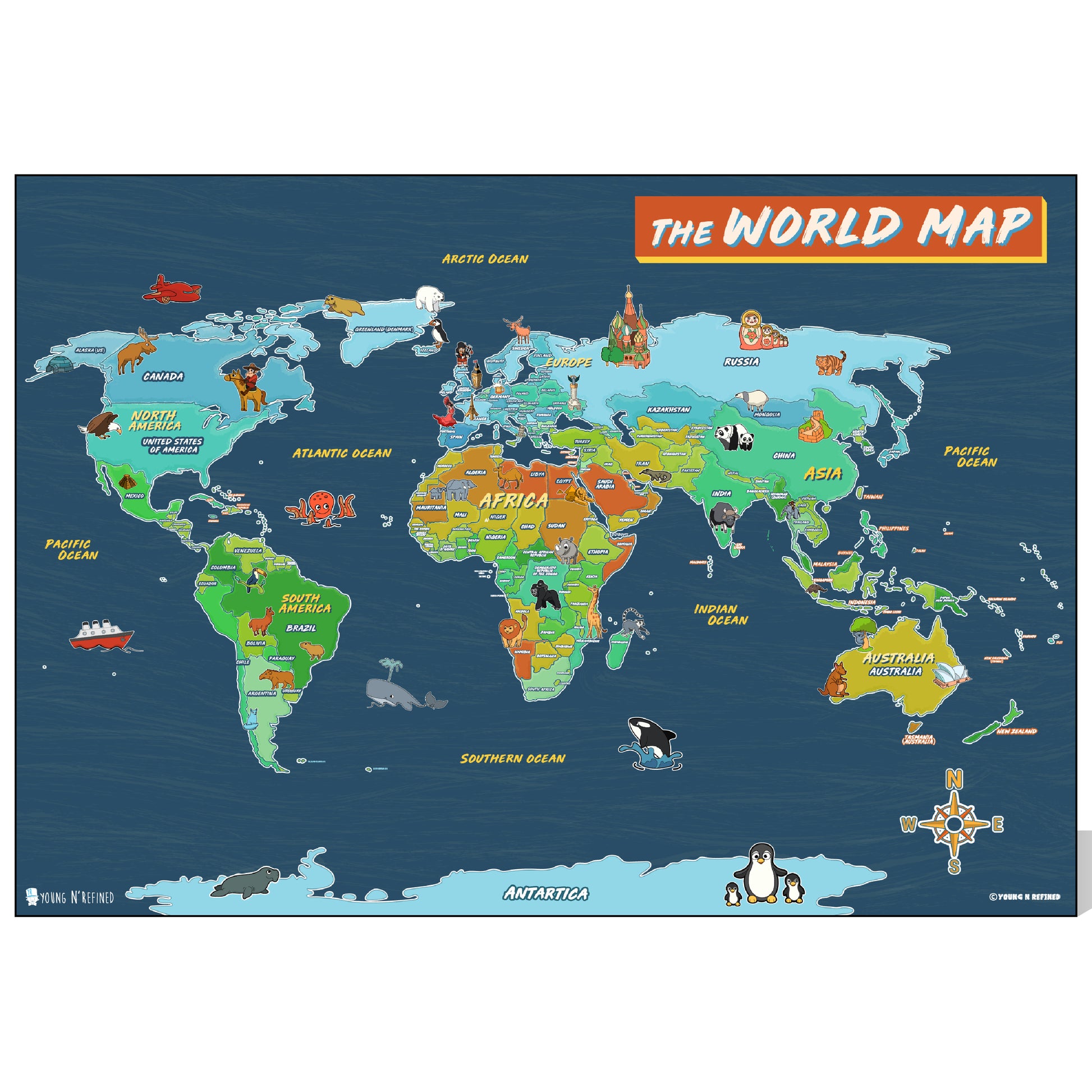
Geography Charts for children with countries Capitals.
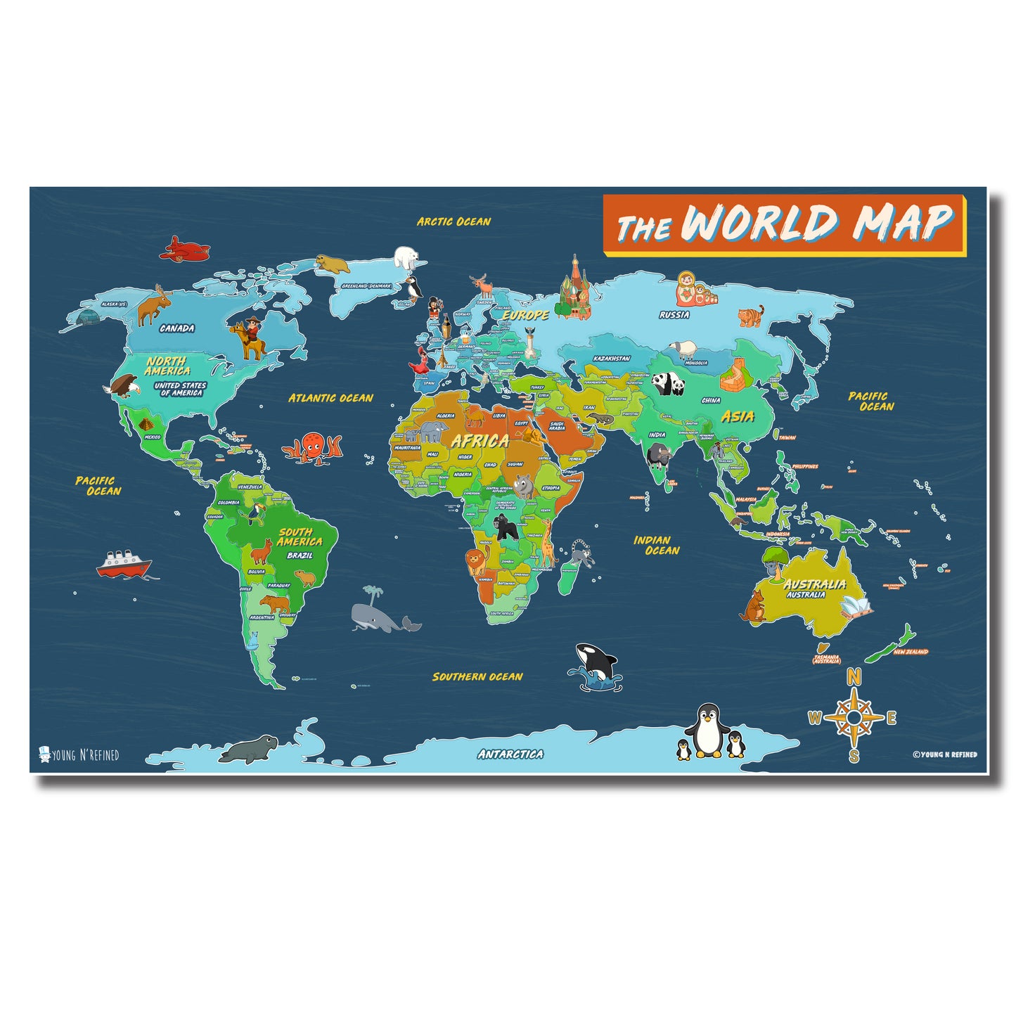
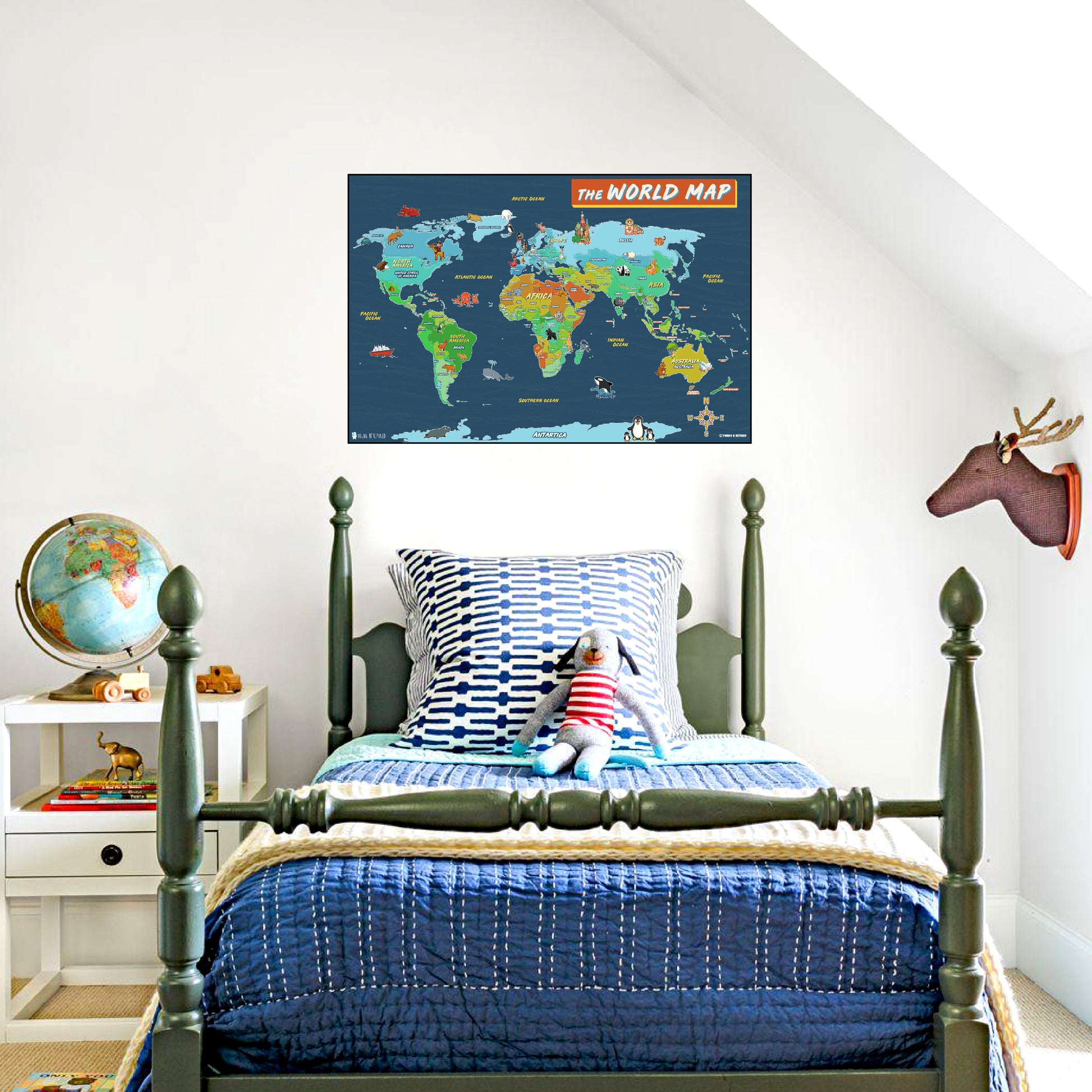
The colorfully illustrated map displays of the World. It is specifically illustrated and designed for the kids to learn world geography. Students can quickly learn & locate different states & capitals with this map. Each Country on the poster is precisely distinguished by the color variations. Thick lamination cover of this map makes it durable & protects from the markers, dust, water, and tears. It’s a geographically modern and up-to-date map that can be placed on classroom and bedroom walls.
- Comes in Large and Extra Large sizes 18x24 or 24x36.
-
Beautifully Illustrated Wallchart poster for the young students.
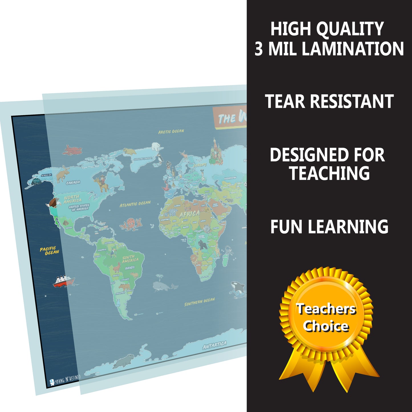
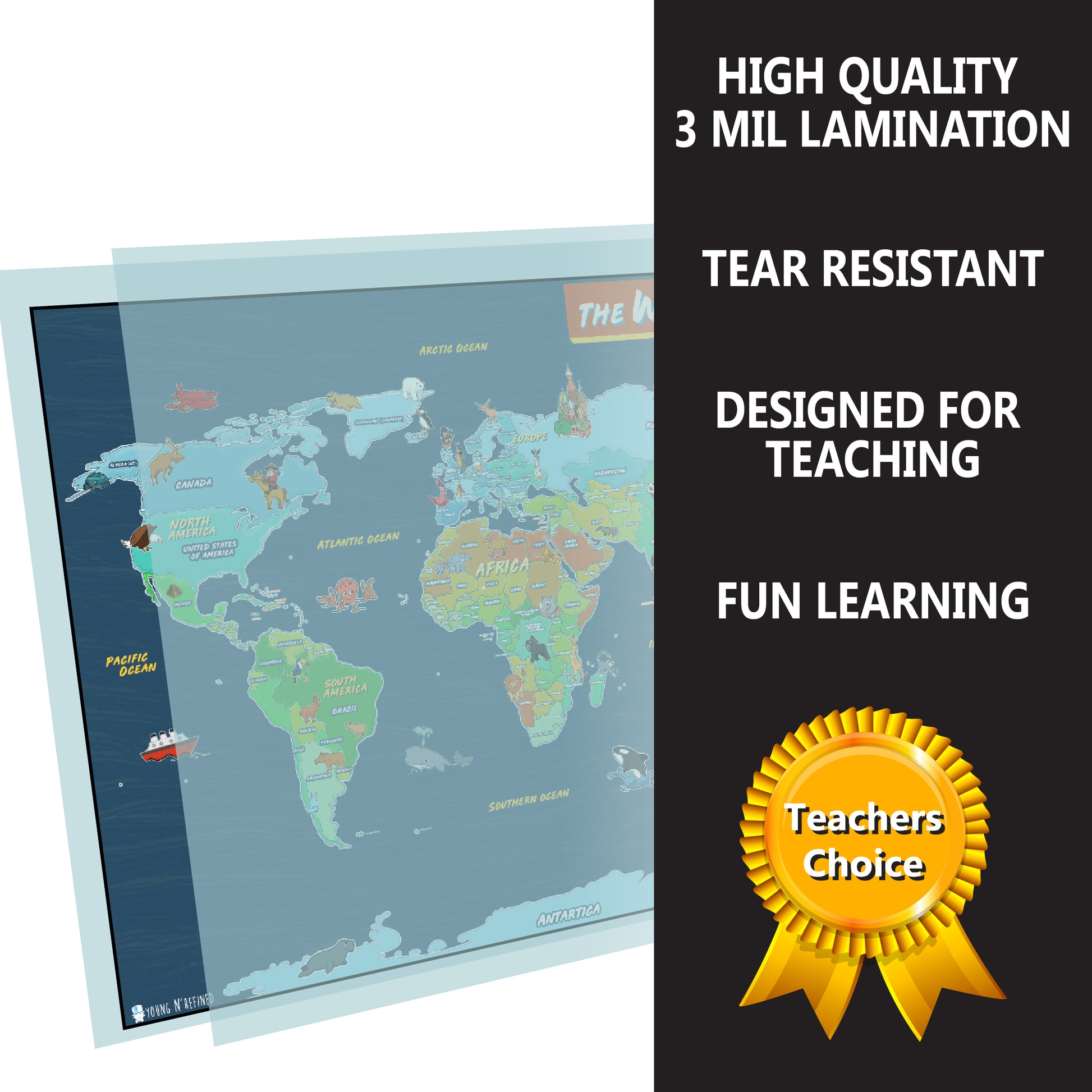
- High-Quality print with thick 3 mil lamination makes it WATERPROOF and TEAR RESISTANT.
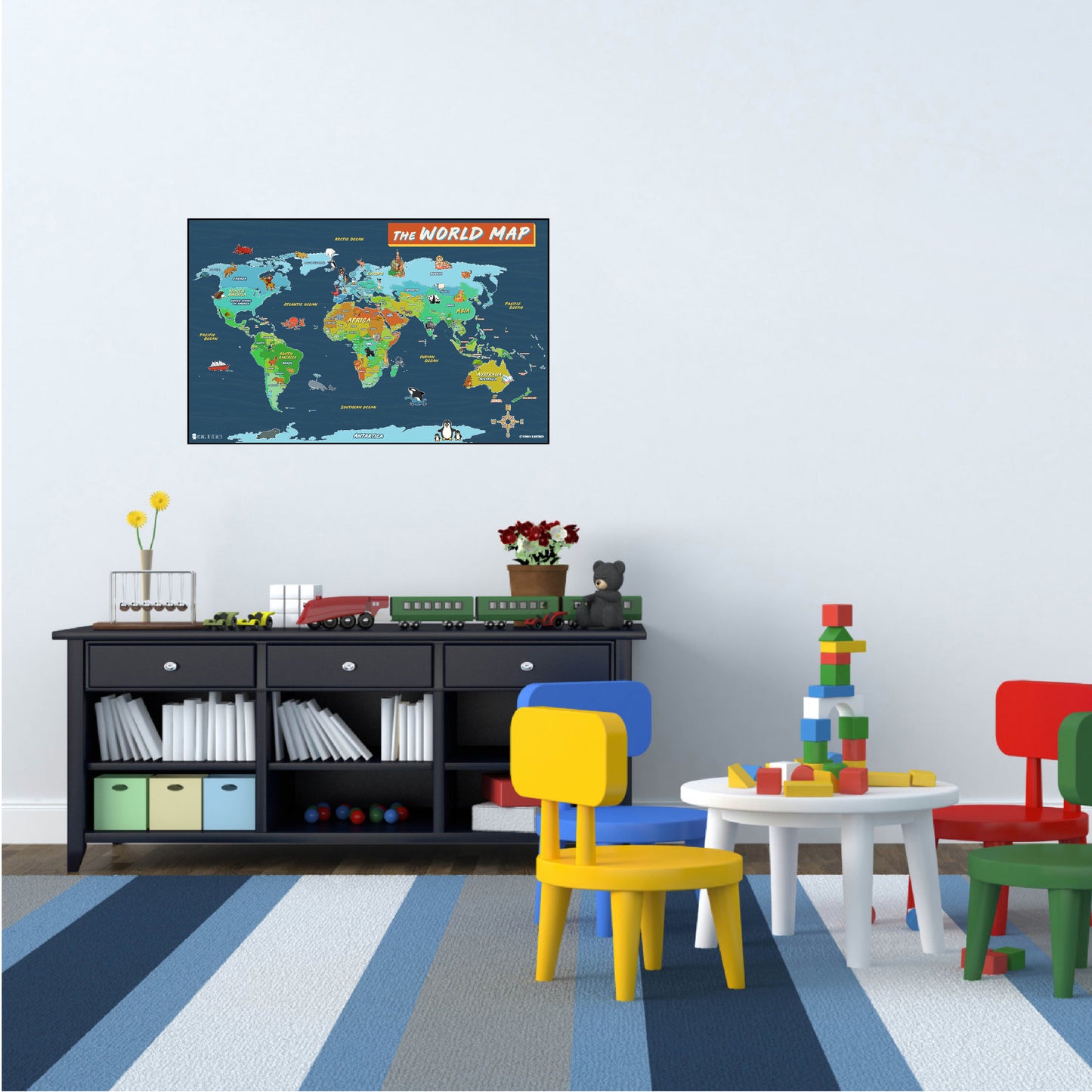
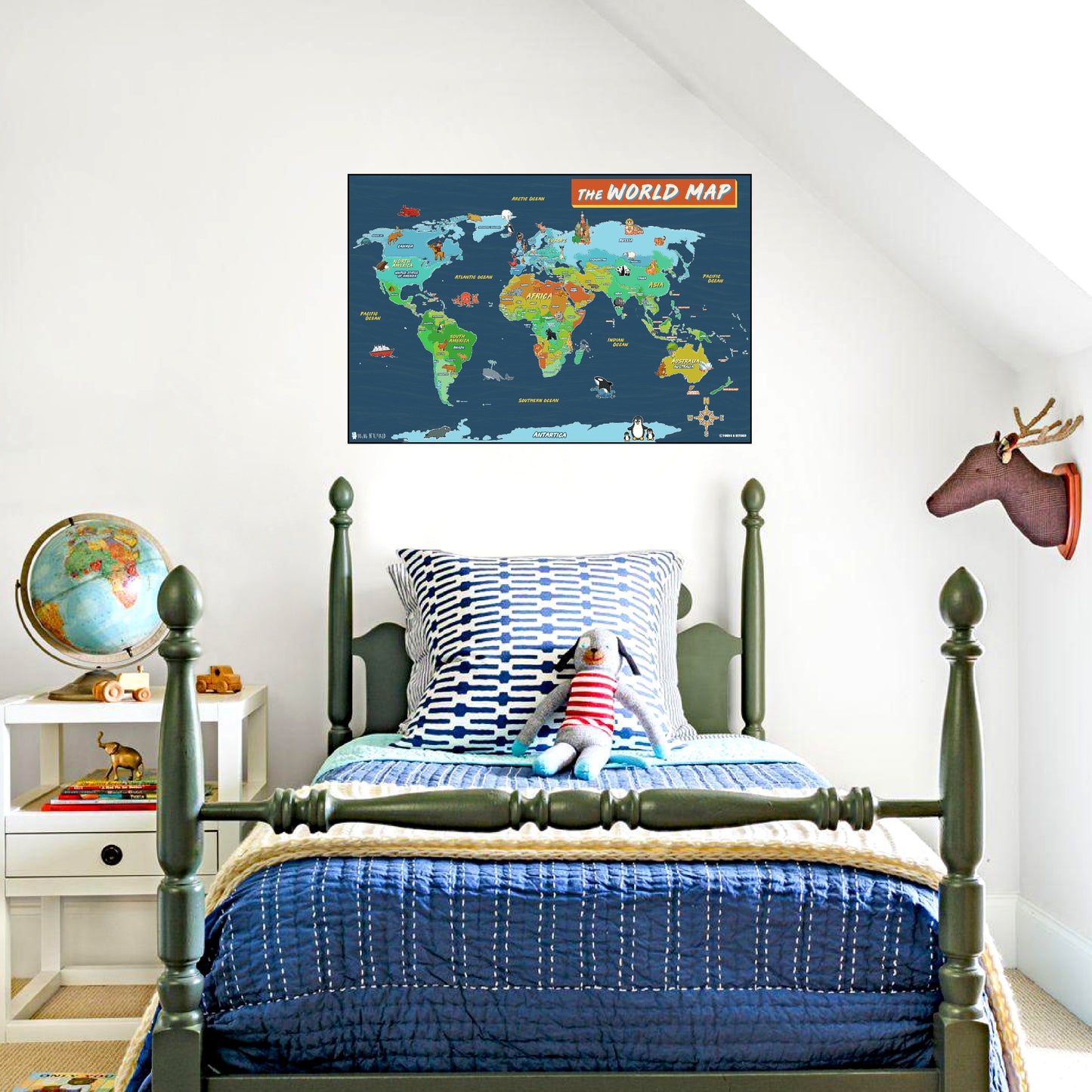
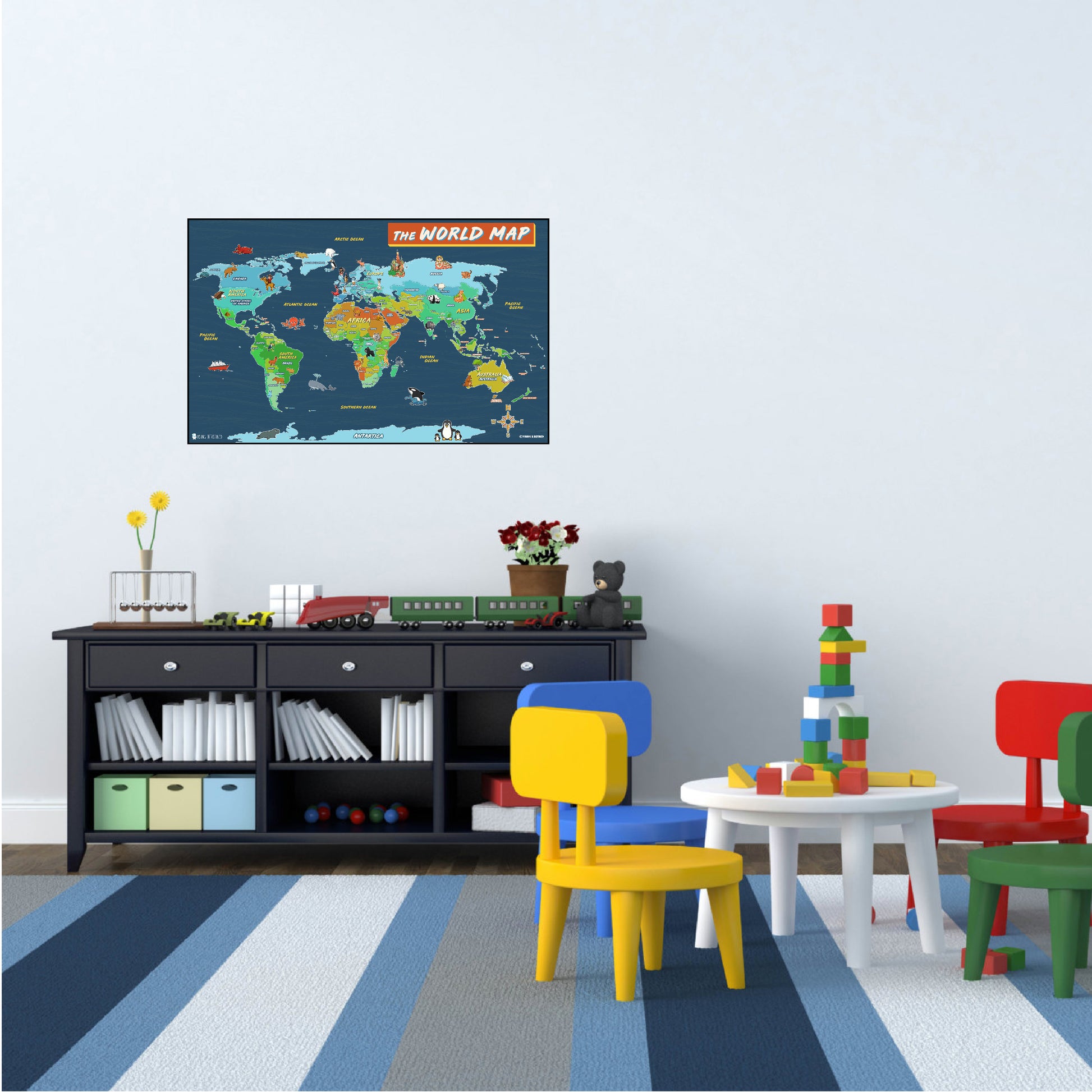
- Great Gift Idea, décor child bedroom, nursery and classroom.
- Great colors and is easily viewed from a distance
- Designed and manufactured in the USA.
More comfortable purchasing from a big name site get this from our:
We offer a full refund for all our products if returned within 30 days.
We take pride in our business and our products and want our customers to take pride in their purchase. If the product does not meet your satisfaction, we are happy to replace it or accept your return.
If you have any questions about a product or purchase, feel free to reach out and contact us here
Like our products? Still have some wall space?
Check out our page on Amazon or our Website to see more of our best selling educational and inspirational posters.
These charts were designed by Teachers and Parents who understand the importance of setting up a safe and friendly environment for their children to prosper and grow. Friendly easy to understand rules are the key success whether it be at home or in school.
